

Main features:
- START: ELLERA, PIAZZA CAIROLI
- MARKING: THREE RED DOTS
- LENGTH: 2km
- ELEVATION GAP: 100m
- DURATION: approx 45mins
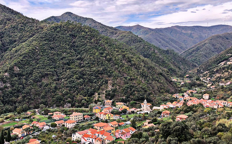
The route starts from Ellera, piazza Cairoli, following the provincial road toward Albisola. Before the old school building, turn right and take Via Poggi. The route follows the course of the stream, offering a panorama of the village of Ellera, through strip cultivation, rural buildings and stretches of woodland with Mediterranean essences. Continuing on we reach the Mulini d'Alto complex, with groups of rustic farmsteads and then a rocky spur where the church of Santa Maria Maddalena stands out.
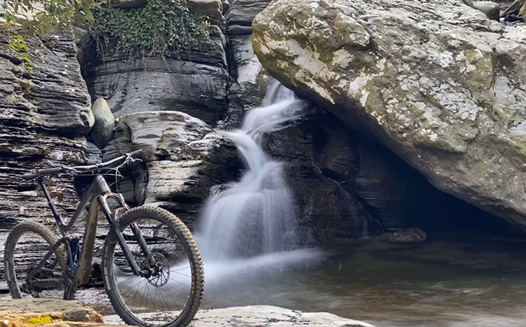
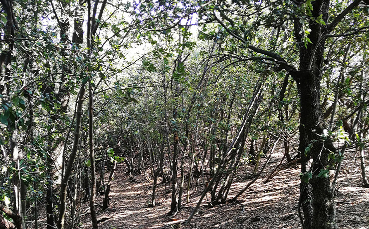
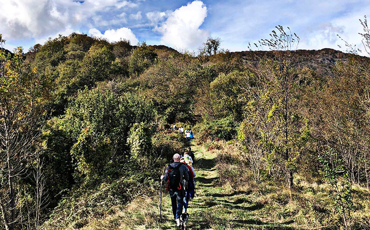
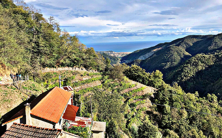
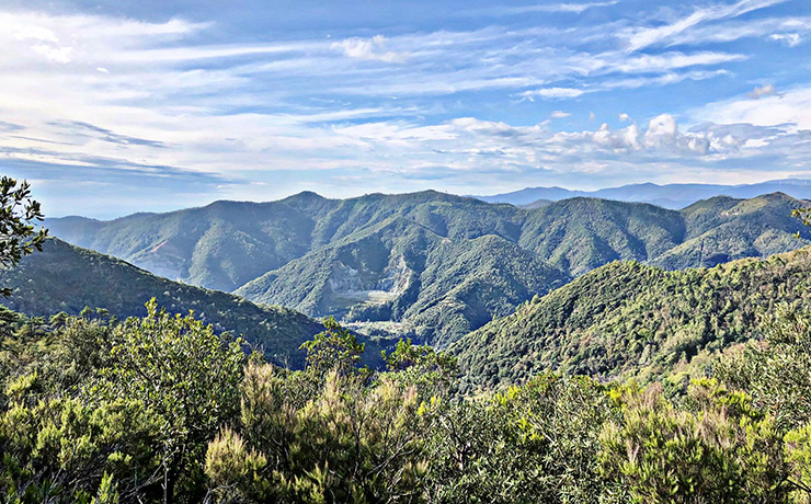
Proceeding, one comes across the beudi, ancient wooden, and later concrete, canals, several kilometers long, that flowed with a slight tilt compared to the river they flanked: the difference in height caused water to cascade over the mill wheel to set it in motion. Still visible is the ruin of the Gallò mill, one of the ten color mills that were developed in the 17th century and intended for the preparation of materials for ceramics. We return to the provincial road, closing the route in piazza Cairoli.
View the interactive trail map
GPS coordinates
Download GPS coordinates